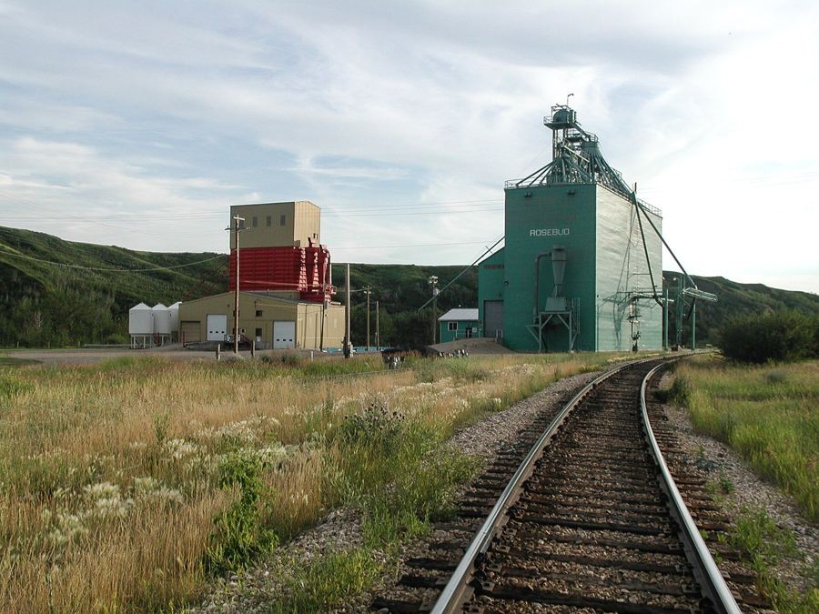
A valley town with two elevators
A handful of streets at the bottom of a green coulee, a river, an old rail line and a theatre tradition far bigger than the place.
Rosebud on a quiet weekdayHanna sits on flat wheat country. An hour west, the land falls away into the Red Deer River valley: hoodoos, coal towns and dinosaur beds. Every place here sits along one horizon, from Rosebud to Dinosaur Provincial Park.
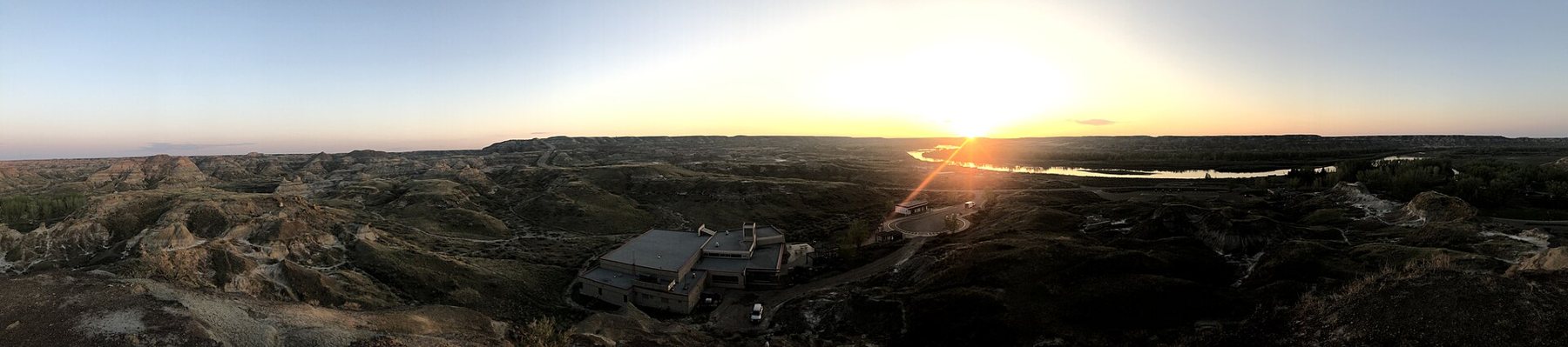
West on the left, east on the right. Distances by road from Drumheller.
A handful of streets at the bottom of a green coulee, a river, an old rail line and a theatre tradition far bigger than the place.
Rosebud on a quiet weekday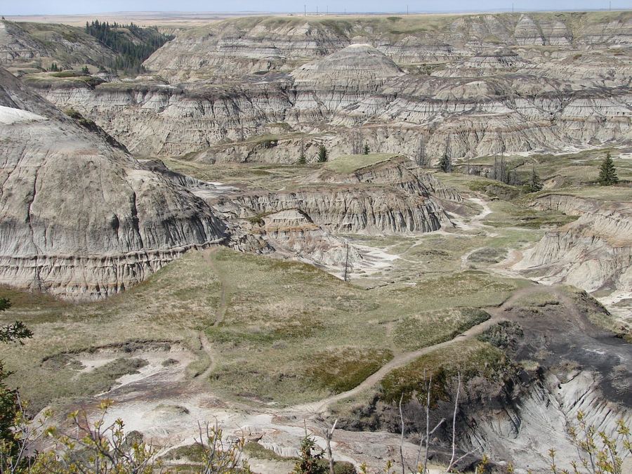
On the drive in from Calgary, wheat fields run right to the edge of a great bite in the prairie.
Horseshoe Canyon: the first look down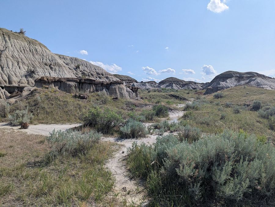
The museum sits low in a bowl of grey badlands just outside Drumheller.
A slow day at the Royal Tyrrell Museum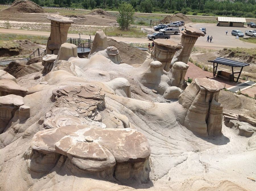
Between Rosedale and East Coulee, a cluster of stone-capped pillars stands on a slope above Highway 10.
The hoodoos at first light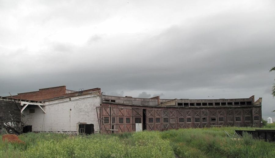
A town that the railway put on the map, and a brick roundhouse that still stands at its edge.
Hanna and the old railway line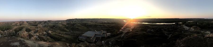
A long drive south-east from Drumheller ends at the rim of a deep river valley full of grey hills.
Planning a day in Dinosaur Provincial ParkOut here the drive is half the trip. Long straight grids, then a sudden drop into the valley.
An hour of flat wheat country, sidings and sky, and then the road tips over an edge you could not see coming. Few drives in Alberta change character so abruptly.
South of Rosedale, a short road follows a small winding river up a narrow coulee, crossing it again and again on one-lane bridges until it reaches a coal town that almost emptied.
A loop drive of about fifty kilometres west of Drumheller, with two big canyon viewpoints and a small cable ferry that carries cars across the Red Deer River in season.
A long line of concrete legs carrying an empty trough across a shallow prairie valley. It once watered a great sweep of dry land, and it is an easy stop on the drive to the fossil beds.
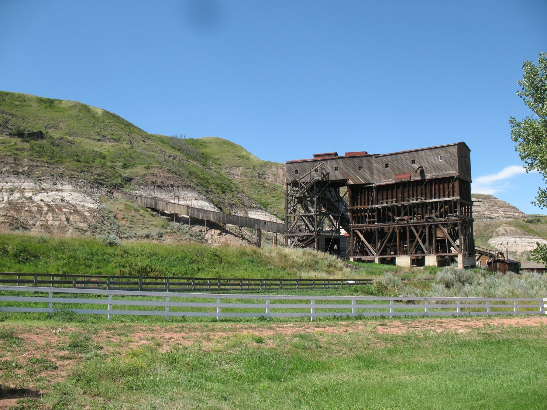
Before the dinosaurs drew visitors, coal did. The mines at East Coulee and Rosedale fed the railway, and the grain elevators stood at every siding on the plain above.
The Atlas mine keeps its tall wooden tipple, and the Star Mine bridge still sways over the Red Deer River.
The badlands are hot and dry in summer and cold and open in winter. Clay trails turn slick after rain, so give them a day to dry. How the weather turns, season by season.
Found a bone on a trail? Leave it where it lies, and here is why.